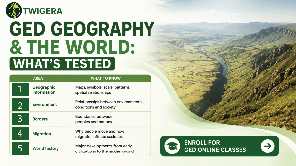
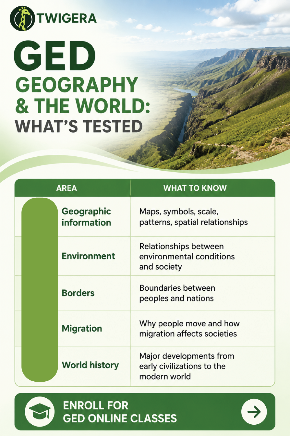
The domain breaks into five connected areas. They overlap heavily, and a single source can carry questions from several of them at once, which is why studying them as separate silos wastes time.
Area | What to know |
|---|
Geographic information | Maps, symbols, scale, patterns, spatial relationships |
Environment | How environmental conditions and societal development interact |
Borders | Boundaries between peoples and nations |
Migration | Why people move and how migration reshapes societies |
World history | Major developments from early civilizations to the modern world |
GED assessment materials identify the development of classical civilizations, relationships between the environment and societal development, borders between peoples and nations, and human migration as Geography and the World content topics, alongside broad world history periods. Notice how many of those are relationships rather than facts. That is the tell: geography questions usually ask you to identify what a source shows, then connect it to something else.
A map on the GED communicates information spatially. It is graded as a source, not as general knowledge. You may need to identify a pattern, compare two areas, or judge which conclusion the display supports. Five checks, in order, handle almost every map item on the test.
Start with the title, because it tells you what the map measures. A population map demands a different reading from a map of political boundaries. Then read the legend, which explains the symbols, colors, lines or patterns. A population-density map may use light shading for low density and dark for high. Without the key, those colors carry no reliable meaning at all. Check the scale, which relates map distance to real distance. Check the labels and dates, which identify locations and establish when the information applies. Only then look at the data.
Those conventions are not GED inventions — they are standard cartographic practice, documented by the U.S. Geological Survey among others, which is why the same reading process works on any map you meet.
It also helps to recognize the map type on sight. A political map focuses on boundaries. A physical map emphasizes natural features. A population-density map shows how people are distributed, and a resource map shows where resources occur. A thematic map uses visual patterns to communicate one specific dataset.
This part of GED geography tests the link between physical conditions and human activity. Water, fertile land, transportation routes and natural resources influence where people settle. They also shape which economic activities develop. Reliable water can support agriculture and settlement. Valuable resources can attract workers and businesses. The careful wording matters — these factors influence settlement, they do not determine it, and answer choices that claim a physical condition guaranteed an outcome are usually overreaching.
Resources are limited. When an important one is hard to obtain, people, businesses and governments have to decide how it will be used. This is the point where geography and economics visibly converge, and a question can legitimately belong to either.
The relationship runs in both directions. People depend on their environment and also change it. Agriculture changes land use. Roads alter transportation patterns, cities expand into surrounding areas, and water management changes how communities draw on what is available. When a question describes an environmental change, the useful move is to ask what condition changed and how people responded.
Migration is movement from one place to another, and the GED frames it through two categories. Push factors encourage people to leave a location — conflict, limited employment, environmental pressure. Pull factors attract people to a new one — employment, safety, available resources. Questions typically describe a situation and ask you to classify the factor, so practice the classification rather than the definitions.
Urbanization is the growth of cities and urban populations — a long-run trend the U.S. Census Bureau tracks directly. It connects to employment, industrial development, transportation and migration all at once. That interconnection is why it appears so often. A single urbanization source lets the test ask a geography question, a history question and a data question without changing the stimulus.
World history sits inside this test area
Students looking for world history on the GED often hunt for a separate section. There is not one — the major developments are included within Geography and the World. You do not need an enormous timeline. You need the major transitions and the forces behind them, studied as change, cause and effect rather than as isolated dates.
Start with early civilizations and the role of agriculture, settlement, government and organized societies. Agriculture supported more permanent settlement. That in turn affected population, labor, political organization and economic activity. The causal chain is more useful than any single date attached to it. Then move to classical civilizations and empires, recognizing large political systems, cultural traditions, trade and territorial expansion.
Trade networks connected distant communities and increased economic and cultural exchange. When a question presents evidence about a trade route, look for what the connection allowed people to exchange, or how it affected the regions involved. Industrialization then changed production, transportation, employment and settlement together, with factory production and improved transportation driving urban growth and reshaping labor. Finally, modern global connections — world wars, technological change, political realignment and international trade — increased the links among societies and economies.
This is the highest-leverage section in the guide, because it gives you study time back. GED guidance states that Social Studies is not a memorization test, and notes that students do not need to memorize country capitals or exact dates of events simply for recall. Most people preparing for this domain get that backwards and spend their hours on the wrong material.
So do not build your preparation around long lists of capitals, flags, river names, country populations, or isolated historical dates. Background knowledge helps at the margins, but interpretation and application deserve far more of your attention. If a map gives you a legend, use it. If a passage provides evidence, use it. If a question supplies a date, work out what role it plays rather than trying to memorize every date you meet. When the information is already in the source, the examinable skill is using it.
Question 1. A map legend shows that dark shading represents high population density. Region A is dark, Region B is light. Which conclusion is supported? (A) Region A has a higher population density than Region B. (B) Region A has a larger total population. (C) Region B has fewer natural resources. (D) Region A has better government services.
Answer: A. The legend establishes what the shading means, so the map supports a comparison of density. Option B is the sharpest trap: density is not the same as total population, because a small dark region can hold fewer people than a large light one. Options C and D introduce information the map never carried.
Question 2. A farming region experiences several years of reduced rainfall. Which outcome could reasonably result? (A) Increased water availability. (B) Reduced agricultural production. (C) Elimination of migration. (D) Guaranteed population growth.
Answer: B. Reduced rainfall affects the water available for farming. Note the hedged verb again — "could reasonably result". Options C and D use absolute language, "elimination" and "guaranteed", and absolutes are rarely defensible in a discipline that describes tendencies.
Work in this order. Start with map-reading skills, practicing titles, legends, scale, labels and patterns until the sequence is automatic. Next, study the relationships among resources, environment, settlement, migration and urbanization. Then review the broad world history developments — early civilizations, classical civilizations, trade networks, industrialization and modern global connections. Finally, practice against real sources: maps, charts, passages and scenarios.
After each practice session, diagnose the miss rather than just noting it. Did the problem come from misunderstanding the concept, misreading the legend, overlooking a label, or choosing a conclusion that went beyond the evidence? Those four failures need four different fixes, and lumping them together as "I need to revise geography" is how study time disappears. Slow down for the source, not for every answer choice.
Geography is one of four content areas, so fit it into a broader plan rather than treating it in isolation. The GED social studies cheat sheet condenses all four areas onto one page. The GED social studies history guide covers the U.S. timeline that sits alongside this world history content, and the GED Social Studies score guide explains what reaching 145 actually takes.